
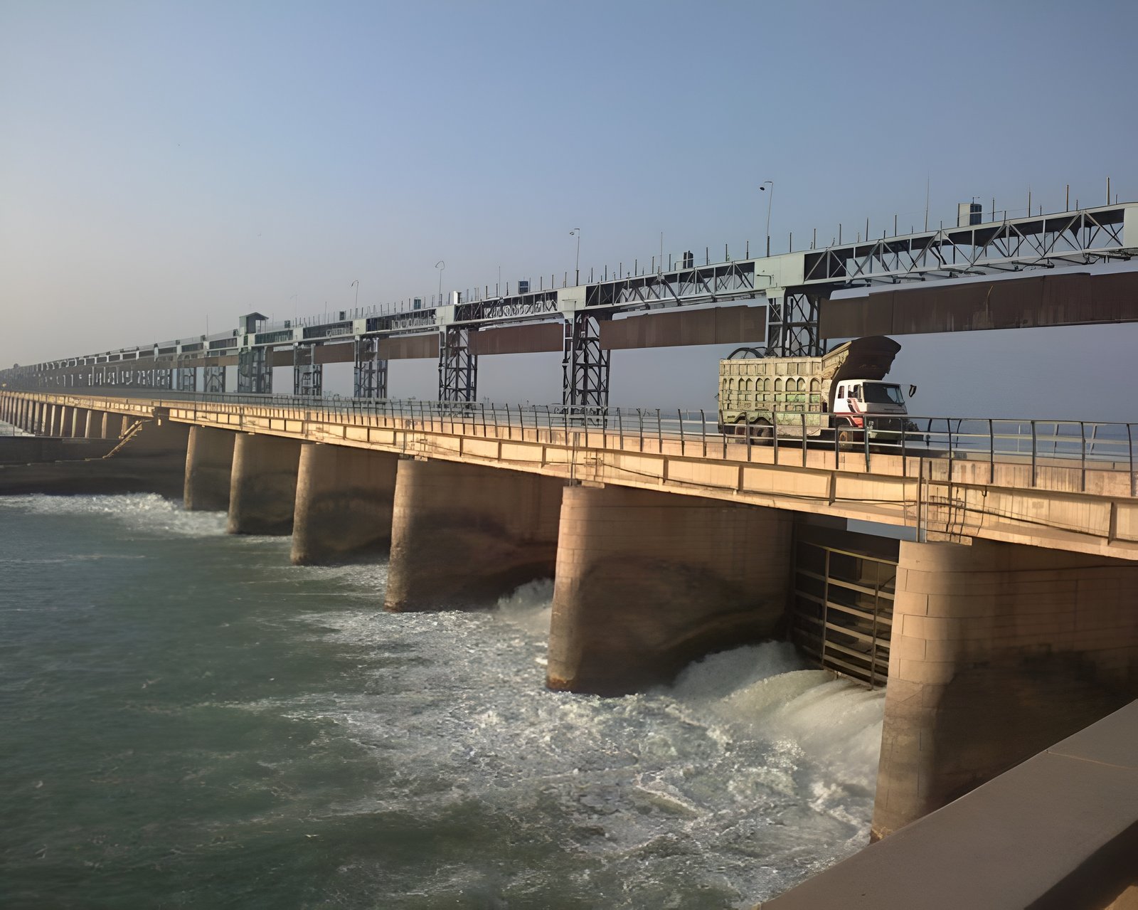
The Jinnah Barrage Project is a cornerstone of Pakistan’s irrigation and water management system. Built on the Indus River, this historic structure has played a vital role in transforming arid lands into fertile agricultural zones. With increasing demands and aging infrastructure, the barrage underwent significant rehabilitation and modernization—supported by advanced geotechnical and structural monitoring systems.
Today, the project stands as a blend of legacy engineering and modern technology, ensuring efficiency, safety, and long-term sustainability.
Project Overview
The Jinnah Barrage, also known as the Kalabagh Barrage, was originally commissioned in 1946 as part of the Thal irrigation project. Its primary function is to divert water into the Thal Canal, which irrigates vast agricultural areas.
Key Highlights:
- Location: Indus River, Pakistan
- Commissioned: 1946
- Purpose: Irrigation and water diversion
- Additional Feature: 96 MW hydropower station added in 2006
- Major Rehabilitation: Initiated in 2012
The rehabilitation project included structural upgrades such as a new weir and guide banks to improve performance and resilience.
Importance of Jinnah Barrage
The barrage plays a crucial role in Pakistan’s economy:
✔ Irrigates large areas of agricultural land
✔ Supports food production and rural livelihoods
✔ Contributes to energy generation
✔ Enhances water distribution efficiency
Its impact extends across multiple districts, making it a vital infrastructure asset.
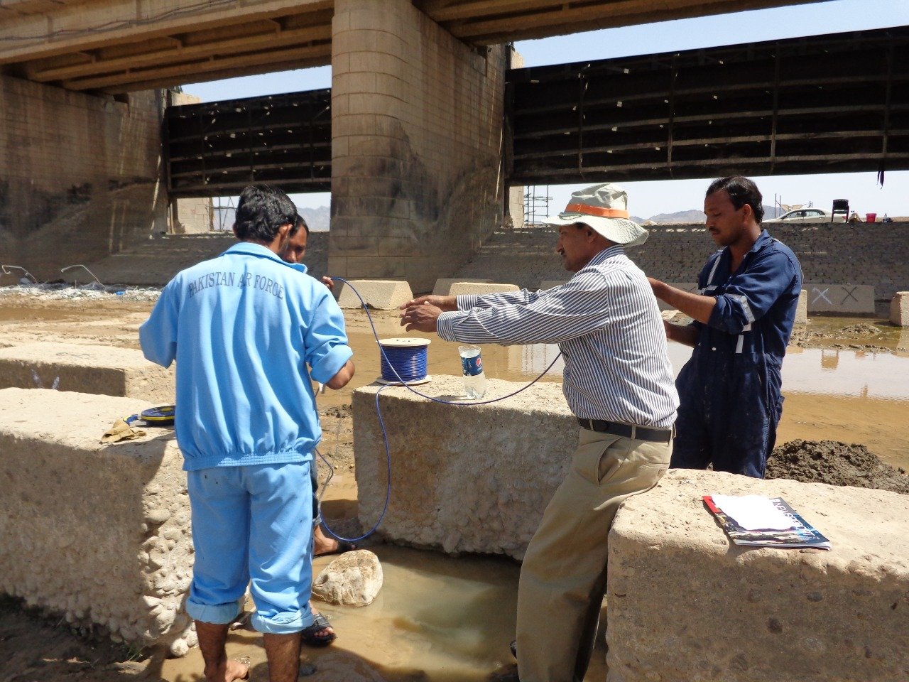
Advanced Monitoring System
To ensure safety and operational efficiency, the project integrates a real-time monitoring system using modern instrumentation.
Monitoring Instruments Installed
The following technologies are used:
- Vibrating Wire Piezometers – measure internal water pressure
- Standpipe Piezometers – monitor groundwater levels
- Multiplexers – manage multiple sensor inputs
- Dataloggers – collect and store monitoring data
- Radio Tx/Rx Systems – enable remote data transmission
- Water Level Indicators – track water fluctuations
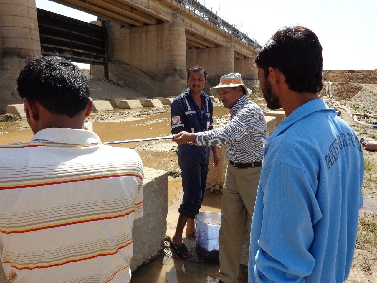
How the Monitoring System Works
The system follows a centralized data collection and analysis process:
- Sensors capture real-time structural and hydraulic data
- Multiplexers organize signals from various instruments
- Dataloggers store the collected data
- Data is transmitted via radio systems for remote monitoring
- Engineers analyze the information to ensure safety
This system helps detect:
- Seepage issues
- Pressure variations
- Structural stress
- Water level changes
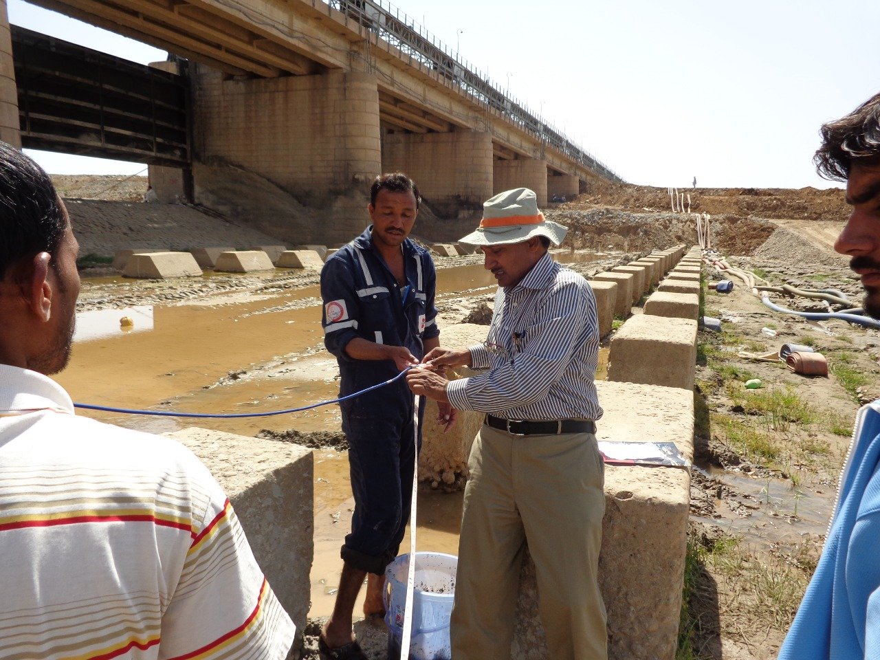
Technologies & Products Used
The project utilizes advanced instrumentation, including:
- VW (Vibrating Wire) Piezometers
- Standpipe Piezometers
- Multiplexers
- Dataloggers
- Radio Communication Systems
- Water Level Monitoring Devices
These tools ensure accurate, reliable, and continuous monitoring.
Key Benefits of the Project
1. Enhanced Structural Safety
Continuous monitoring reduces the risk of failure.
2. Efficient Water Management
Improves distribution across irrigation networks.
3. Increased Reliability
Automation ensures consistent performance.
4. Extended Lifespan
Modern upgrades and monitoring extend the barrage’s operational life.
Project Stakeholders
- Client: PMO
- Consultant: NESPAK
- Specialist Contractor: GSI (Geotechnical & Structural Instrumentation)
These stakeholders collaborated to deliver a robust and future-ready system.
Conclusion
The Jinnah Barrage Project demonstrates how historic infrastructure can be revitalized through modern engineering and advanced monitoring technologies. By integrating real-time data systems with structural upgrades, the project ensures safety, efficiency, and sustainability.
As water demand continues to rise, projects like Jinnah Barrage highlight the importance of smart monitoring solutions in managing critical infrastructure.
FAQs
What is the purpose of Jinnah Barrage?
It diverts water from the Indus River for irrigation and supports agricultural development.
When was it constructed?
It was commissioned in 1946 and later rehabilitated starting in 2012.
Which monitoring instruments are used?
Piezometers, multiplexers, dataloggers, and water level indicators.
Why is this project important?
It ensures water supply, supports agriculture, and enhances infrastructure safety.